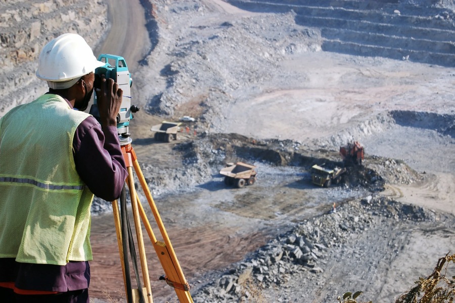
Geophysical methods are essential tools for studying the Earth’s upper layers and play a vital role in solving engineering and geological problems. These methods, utilized by companies like Smart Projects, allow for the detection of subsurface structures and anomalies, aiding in the search for mineral deposits and mitigating risks related to human activity on the lithosphere. Through the study of both natural and artificial fields, geophysical tests offer critical insights into subsurface conditions. Engineering geophysics, as employed by Smart Projects, focuses on the lithosphere layers involved in human activities, typically investigating up to 100 meters in depth.
The importance of geophysical research has grown alongside technological advancements, as modern infrastructure projects become more ambitious and complex. The need to understand the subsurface characteristics before and during construction is paramount to ensuring safety and long-term structural integrity.
Main Applications of Engineering Geophysics
Engineering geophysics serves four critical purposes in solving engineering and geological problems. Each application requires specific methods to assess, monitor, and mitigate potential risks associated with the subsurface environment.
1. Surveys to Justify Construction Projects
Before embarking on any construction project, it is crucial to conduct geophysical surveys to understand the subsurface characteristics of the proposed site. Geophysical methods help identify potential hazards, such as unstable soils, underground cavities, or fault lines, which could compromise the safety and stability of the structure. For instance, in areas prone to karst formations, undetected cavities could lead to sudden collapses, causing catastrophic damage to buildings and infrastructure. Surveys using electrical profiling, seismic exploration, and gravimetric methods allow for early detection of such hazards, enabling engineers to design structures that can withstand these conditions or avoid high-risk zones altogether.
2. Research During the Construction Stage
Once construction begins, geophysical methods are used to monitor the ongoing conditions of the site. Real-time data from seismic and electromagnetic surveys can detect changes in subsurface structures caused by excavation, drilling, or the weight of construction materials. This continuous monitoring is essential for making timely adjustments to the construction process and ensuring that the foundation and supporting structures remain stable. For example, seismic refraction methods can detect variations in soil compaction, which might require foundation reinforcement or adjustments in construction techniques.
3. Monitoring of Existing Structures
Geophysical techniques also play a vital role in the long-term monitoring of existing structures. Over time, natural processes such as erosion, groundwater flow, and seismic activity can cause changes in the subsurface that compromise the integrity of a building or infrastructure. Regular geophysical surveys can detect early signs of structural issues, such as subsurface voids or shifting soil layers, allowing for preventative measures before serious damage occurs. This is particularly important for critical infrastructure, such as bridges, tunnels, and dams, where failure could have catastrophic consequences.
4. Analysis of Anthropogenic Impact on the Geological Environment
Human activities, such as construction, mining, and the extraction of natural resources, can significantly alter the subsurface environment. Geophysical methods are used to assess the impact of these activities on the surrounding geology. For instance, large-scale excavation or tunneling projects can disrupt groundwater flow, leading to soil destabilization or increased erosion. By using geophysical surveys, engineers can monitor these changes and implement strategies to minimize the negative impact of anthropogenic activities on the geological environment.
The Role of Physical Fields in Solving Engineering Problems
Geophysical research focuses on how various physical fields propagate through the geological environment, and this knowledge is crucial for solving engineering problems. These fields can be categorized into natural and artificial:
– Natural fields: These include the Earth’s gravity and magnetic fields, which provide insight into the subsurface composition.
– Artificial fields: Created by human intervention, artificial fields such as electromagnetic waves or elastic vibrations are used to probe the subsurface in greater detail.
An excellent example of the practical application of physical field studies is in the detection of karst cavities. Karst formations can pose serious risks to infrastructure, particularly when they are hidden beneath non-karst rocks like loam. Since the characteristic karst relief is not visible on the surface, these cavities can collapse suddenly, causing destruction to buildings, roads, and other structures. Engineering geophysics offers several methods for detecting these hidden dangers. For instance, if a karst cavity is located in the aeration zone and filled with air, it behaves like a dielectric in an electric field, which means it does not conduct electricity. This property makes the cavity detectable using electrical profiling, which identifies zones of increased electrical resistance.
Main Geophysical Methods Used in Engineering Geophysics
A variety of geophysical methods are used in engineering geophysics to study subsurface conditions. These methods can be broadly divided into passive and active techniques, depending on whether they rely on natural or artificial fields.
1. Shallow Electrical Exploration
Shallow electrical exploration is one of the most common geophysical methods used in engineering geophysics. It is primarily divided into two categories: resistance methods and electromagnetic methods.
– Electromagnetic Methods: These methods are used to record the propagation of electromagnetic waves through the subsurface and analyze their reflections from layers with different electrical properties. Ground-penetrating radar (GPR) is a widely used electromagnetic method, especially for detecting subsurface anomalies, such as voids, fractures, or changes in material composition. GPR is highly effective for near-surface investigations and can be applied in urban environments without causing disruption.
2. Shallow Seismic Exploration
Seismic exploration involves studying the propagation of seismic waves through the Earth. By generating seismic waves using controlled impacts or explosions, geophysicists can measure how these waves travel through different layers of rock or soil. Changes in the speed or direction of the waves indicate variations in subsurface conditions. This method is particularly useful for identifying subsurface faults, detecting voids, and determining soil stability. Shallow seismic surveys are often employed during the construction of buildings, tunnels, and bridges, where ground stability is a key concern.
3. Gravimetric Method
The gravimetric method is based on measuring variations in the Earth’s gravity field. These variations are caused by differences in the density of subsurface materials. By mapping these density changes, geophysicists can identify features such as fault zones, karst cavities, or subsurface structures that may affect construction projects. Gravimetric surveys are valuable for large-scale investigations and are often used in combination with other methods to provide a more comprehensive understanding of subsurface conditions.
4. Magnetometric Method
Magnetometric surveys study the Earth’s magnetic field and its interactions with subsurface materials. By measuring the magnetic susceptibility of different geological bodies, this method can help identify variations in rock composition, faults, and fractures. High-precision micromagnetic surveys are particularly useful in distinguishing between sedimentary rocks and quaternary deposits, as well as in assessing rock fracturing. This method is often employed in geotechnical surveys for construction and mining projects.
5. Nuclear-Physical Methods
Although less commonly used in engineering geophysics, nuclear-physical methods such as gamma and emanation surveys provide valuable information about subsurface conditions. Gamma surveys measure the natural gamma radiation emitted by rocks, while emanation surveys assess the content of radioactive substances in soil air. These methods are useful for geological mapping and identifying tectonic faults, and they can also provide insight into the geodynamic behavior of the subsurface.

Case Study: Detecting Karst Cavities in Construction Projects
Consider a scenario where a construction project is planned in an area with a high risk of karst formation. Karst features are typically hidden beneath the surface, and their presence is not immediately apparent. Without proper detection, these cavities could collapse, leading to significant structural damage.
In this case, engineering geophysics offers several solutions. Using electrical profiling, geophysicists can identify karst cavities by measuring electrical resistance. Since air-filled cavities act as dielectrics, they exhibit higher resistance compared to the surrounding material. By mapping these resistance anomalies, engineers can adjust the construction design to avoid high-risk areas or reinforce the foundation to withstand potential collapses.
Similarly, seismic surveys can be used to detect voids or unstable ground by analyzing how seismic waves travel through the subsurface. The combination of these geophysical methods provides a comprehensive understanding of subsurface conditions, ensuring that construction projects are safe and sustainable.
Engineering Geophysics in the UAE
In the UAE, geophysical research plays an essential role in supporting large-scale infrastructure projects, ensuring that they are built on stable ground. Companies like Smart Projects offer comprehensive geophysical and geotechnical services, employing advanced technology and highly skilled professionals to deliver reliable results. Their expertise in geophysical methods ensures that construction projects are thoroughly evaluated, and potential risks are mitigated before work begins.
Conclusion
Geophysical methods are indispensable in solving engineering and geological problems. Whether it is detecting subsurface anomalies, ensuring the stability of construction sites, or monitoring the impact of human activities on the geological environment, geophysical research provides critical insights that guide engineering decisions. With advancements in technology, the resolution and accuracy of geophysical surveys continue to improve, making them more effective in addressing the challenges posed by modern construction and infrastructure development.
By integrating these methods into the planning and execution phases of engineering projects, geophysicists and engineers can work together to create safer, more resilient structures that are capable of withstanding the challenges posed by the Earth’s dynamic subsurface environment.
Skydiver, feminist, band member, Mad Men fan and holistic designer. Acting at the crossroads of modernism and intellectual purity to craft delightful brand experiences. Let’s design a world that’s thoughtful, considered and aesthetically pleasing.